PROJECTS

Saxonvale, Frome

Project: Mixed-use development – residential, commercial and retail
Location: Frome, Somerset
Client: Acorn Property Group and Mendip District Council
Services: Transport Planning

The Project

We were brought in to provide transport planning expertise in the regeneration of a 10-acre brownfield site in the historic town of Frome, in Somerset. The development comprised up to 300 new homes – over a fifth of them affordable – together with shops, riverside cafe and 45,000sqft of commercial space for business start-ups, that could help create 350 jobs.

Our role was to link homes, businesses and the proposed riverside park and marketplace with the heart of the town; not just overcoming issues of access, but also focusing on ‘placemaking’ in line with government guidelines to create walkable environments that push car traffic down the agenda.

The Problem

The land had been derelict and contaminated for more than a decade. There had been several unsuccessful attempts to develop it, including a supermarket application that fell down on concerns over the traffic impact.

Mendip District Council acquired the site in 2018 for around £6m and partnered with Acorn Property Group: a specialist urban renewal developer with a proven track record of delivering complex brownfield development sites.

For Frome Town Council and local residents, access and parking had always been a problem, with limited room to accommodate large scale infrastructure improvements due to conservation areas and listed buildings; roads could not simply be widened.

Conclusion

In January 2021 Mendip District Council granted outline planning permission for the multi-million-pound project. By breaking down complex issues and communicating intricate data in a straightforward way, we provided crucial reassurance to council members. This derelict site was finally being unlocked for a landmark urban development, and an ancient town’s road network would be improved, benefiting future developments under the local plan.

The solution

This brownfield site was surrounded by congested roads, and in particular a notorious set of T-junctions at Gorehedge. We spent considerable time with the team and stakeholders to get to grips with the root cause of the congestion problems around the main bottleneck in the town. From here, we identified a simple but cost-effective upgrade to the junction that hadn’t been considered by the teams involved in earlier planning applications.

This solution was evidenced by meticulous designs and transport modelling, which were independently audited and approved by the Local Highway Authority and their external consultants.

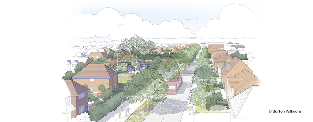
We also used ONS data from the 2011 census to create a bespoke, evidence-based model of car ownership for each property type in the proposals. This demonstrated that significant reductions in car parking could be achieved, compared with the Council’s own standards; maximising the developable land, while creating more walkable and social streets within the development to minimize the use of private car travel.

We trust Calibro’s advice completely. Our decisions to promote land and invest in sometimes complex planning strategies often reflects their advice, which reassuringly balances the opportunities and risks, and how these risks can be addressed.

Oliver Taylor
Charterhouse Strategic Land LTD
Director

Related Projects