Calibro’s logical approach to seeing constraints as an opportunity assists in achieving a desirable solution that is communicated clearly and robustly to ensure the projects are driven forward successfully.
Redrow Homes PLC
Senior Planning Manager
PROJECTS
Location: Quainton, Aylesbury, Buckinghamshire
Client: Sherwill Drake Forbes
Services: Flood planning

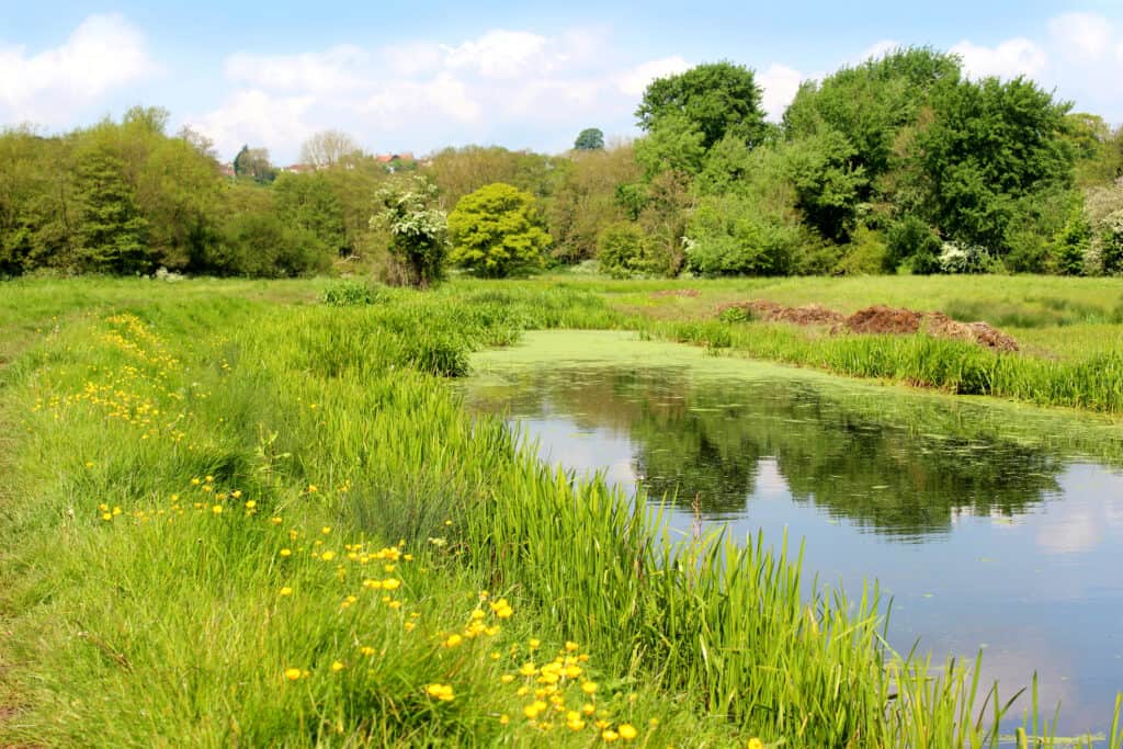
We were asked to advise on the construction of an agricultural building at Ladymead Farm, a former racehorse stud farm on the outskirts of the picturesque village of Quainton. The proposed building, with a footprint of 540sqm, would join four existing light industrial/commercial office units on a gently sloping site. A minor watercourse flows through the site to an ornamental pond, before being culverted for approximately 250m and discharging to an open channel at the site’s eastern boundary.
The Environment Agency (EA) had objected to a previous planning application (prepared by others) on the basis that the site was located in Flood Zone 2. We were brought in to assist with the resubmission of the planning application and to overcome the EA’s objections.
From an initial review of EA datasets, it was clear that there was no existing hydraulic mode of the area, and that the Flood Zone 2 definition was based on an outline of flooding during the notoriously severe winter of 1947, when a rapid thaw of deep snow caused widespread flooding across much of the UK. It was also clear that the outline was ‘broad brush’ and likely to be significantly overestimated.
The proposals were approved by both the Environment Agency and the Lead Local Flood Authority. Our proportionate and robust attention to hydraulic modelling demonstrated that the site should be defined as Flood Zone 1, rather than Flood Zone 2; delivering immediate cost savings to our client. Our pragmatic approach also produced cost-effective solutions to managing the predicted risk, securing safe access and managing surface water from the existing and proposed developments.
We advised that a hydraulic model should be produced alongside a flood risk assessment, supported by a drainage strategy. This would mitigate against any potential impact of the development downstream and identify the simplest, most cost-effective solution.
After visiting the site to record key features, we constructed a hydraulic model to identify the likely extent of flood risk to the site, using techniques to derive a robust set of flow estimates for the watercourse. We also explored the sensitivity of our modelling in the event the culvert becomes blocked.
Recognising the need to bring the EA on board, our modelling took a conservative approach to identify the likely capacity of the water channel; mapping boundary walls and buildings to refine overland flow pathways in a scenario that the culvert was overwhelmed.
The modelling threw up a surprise: although it confirmed what we had suspected (that the developable parts of the site would not be affected), it also identified that shallow overland flooding would affect an existing surface water attenuation basin.
Wanting to address this in a proportionate manner, we proposed minor works: a 300mm high extension to an existing earth bund and the raising of an existing speed bump. The modelling showed this would function in even the most extreme event, without increasing flood risk elsewhere or impairing safe access.
Always keen to understand the wider picture, we designed an extension to the existing attenuation basin to manage surface water from the proposed development; retaining the existing hydraulic control and so minimising construction costs and disturbance.
Calibro’s logical approach to seeing constraints as an opportunity assists in achieving a desirable solution that is communicated clearly and robustly to ensure the projects are driven forward successfully.