Always on hand to provide guidance on issues as they arose, their sensitive approach and steadfast commitment allowed us to unlock the development potential.
PROJECTS
PROJECTS
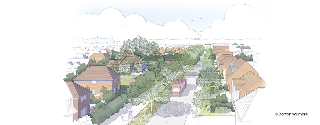
Project: Residential Development, 210 Homes
Location: Coxheath, Kent
Client: Charterhouse Strategic Land
Services: Flood risk, drainage and transport planning

Charterhouse Strategic Land engaged Calibro’s full suite of services to support a planning application for up to 210 new homes on an allocated residential site in the village of Coxheath, south of Maidstone. Now known as ‘Forstal Mead’, the site was in agricultural use and required full masterplan input, technical assessment of transport, drainage and flood risk effects, and public engagement to secure consent.
The 7.7-hectare greenfield site was bordered on two sides by gardens at the rear of properties on older neighbouring estates, and on the third by adjoining agricultural fields. This left only one way out: Forstal Lane, a narrow two-way carriageway to the north. The Highway Authority had concluded that this lane would need to be significantly widened to accommodate the predicted traffic.
Traffic congestion was already a problem in the village, with two key issues:
The planning committee wanted an exit from the proposed development to the south. But this was outside the policy allocated to the site and involved a nominal ‘ransom’ strip owned by a third party.
We listened to local concerns, collaborated with all stakeholders, utilised targeted modelling and practical, evidence-led analyses, to smooth the way for a robust planning application. Planning permission was granted, and Charterhouse was able to sell the site almost immediately.
At the very beginning of the project, we met the Local Highway Authority on site and, using the government’s document on design principles (Manual for Streets), were able to demonstrate that widening Forstal Lane to the 6-metres originally suggested wouldn’t solve the problem if the road it connected onto (Stockett Lane) was narrower.
And because Forstal Lane was straight, widening it would likely result in higher traffic speeds, potentially impacting the safety of pedestrians and cyclists.
Once the Local Highway Authority was on board, we were able to take a more balanced, place-led approach. We provided plans for a 4.8-metre-wide carriageway that would accommodate a car passing a heavy goods vehicle. This not only gave our clients complete control of its delivery, but also provided significant cost savings at a very early stage of the project.
We designed the site access onto Forstal Lane to be left-turn only, using a shaped central island and highway narrowing to prevent vehicles turning right onto a narrow back lane into Maidstone. We also created a pedestrian-only exit to the south where our accessibility models showed the nearest bus stop within 400 metres.
Through public consultation events, residents raised their concerns about development traffic ‘rat running’ through adjacent estates in order to avoid peak hour congestion at Stockett Lane. But we realised that, rather than being a potential negative, the opportunity to route traffic through an adjoining estate would help minimise the impact at the more sensitive Stocket Lane junction.
We therefore carried out journey-time surveys and gravity modelling to calculate the proportion of traffic that would use each available route. Quantifying the use of the road in this way reassured the Council that, while some drivers would use the housing estate, the numbers wouldn’t cause a negative impact on existing residents. The modelling justified the entire proposal, and our transport assessment flew through.
Adding value (and saving the development) through flood-risk assessment. Through our focus on ‘place’ we immediately identified that an existing watercourse, running through the central area of the site, would potentially wash out a significant chunk of the development. After a cost balancing cut-and-fill assessment, our flood risk modelling sought to maximise the net developable area of the site by realigning the watercourse and reprofiling it. This not only unlocked additional development land but, through the reprofiling of the embankments, we were able to integrate the works within the public open space calculation to create further value in the scheme.
Always on hand to provide guidance on issues as they arose, their sensitive approach and steadfast commitment allowed us to unlock the development potential.