


We trust Calibro’s advice completely. Our decisions to promote land and invest in sometimes complex planning strategies often reflects their advice, which reassuringly balances the opportunities and risks, and how these risks can be addressed.

PROJECTS
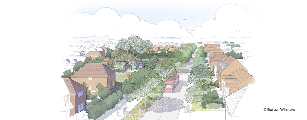
Project: 400 quayside apartments and commercial/retail space
Location: Poole, Dorset
Client: Reuben & Morgan
Services: Pre-planning transport and flood risk advice

We were brought in for our pre-planning expertise on this 1.8-hectare brownfield site, earmarked for regeneration on Poole Quay. The proposal was for 400 apartments, together with restaurants, offices, a public open space, a new home for Poole Rowing Club and quayside walkway. This site, on the upper reaches of Poole Harbour, lies between the two lifting bridges linking the town centre with Poole’s busy ferry port.
The flood threat to this part of Poole is from extreme tides, meaning emergencies are expected to last less than 24 hours. The site is entirely within Flood Zone 3a and is undefended. The local Strategic Food Risk Assessment (SFRA) requires that defences be constructed in all areas currently without protection.
We were asked to produce a Flood Risk Assessment to satisfy the National Planning Policy Framework exception test. We had to prove that flood risk could be managed and demonstrate that the sustainability benefits of the development outweighed the risk.
Additionally, we needed to show that the development would not exacerbate flood risk elsewhere and, where possible, would reduce risk overall. A key planning requirement was to incorporate public walkways around the water’s edge, plus create vehicle and pedestrian access through flood defences.
Our multi-disciplinary approach added real value for the client. Our expertise in both flood risk and transport planning was applied to two potentially conflicting requirements – and robust flood defence and access could successfully be married together. Our cost-effective approach has led to our involement on other local schemes, including a landmark redevelopment of Poole Stadium.
Using Environment Agency flood hazard maps alongside our detailed analysis, we were able to model a 1-in-200-year scenario, accounting for the effects of climate change. Even on a normal high spring tide, a small surge of 0.2m may cause flooding. There were three options:
To meet SFRA recommendations for flood defences for the next 100 years, our calculations showed dwellings should be set at least 3.53m Above Ordinance Datum (AOD) – sea level. We worked with the architect and consulted with the EA in a three-way optimisation process. This led to us recommending that the site level be raised by some 2m, avoiding the need for stilts. We also proposed ‘wrapping’ the development with flood defences, incorporating flood barriers to allow access to and from West Quay Road, a main town centre artery.
To protect the quayside walkway, we researched EA-endorsed flood defences used elsewhere in the UK, as a more cost-effective alternative to raising the entire quayside edge. We liaised with Flood Control International (a leading flood defence company) and concluded that wall-mounted glass barriers would preserve harbour views, be visually pleasing and need little maintenance. Working with architects, we delivered a comprehensive travel plan that prioritised safety and accessibility through this defensive ‘wrapping’.
The council had long grappled with the issue of parking on this very constrained site: we were able to provide evidence that showed less parking was required than the council had thought. Expert analysis showed that people could be steered towards other modes of transport in this area: West Quay Road has good bus connections and the railway station is within walking distance. We also recommended provision of electric cars within the development.
We trust Calibro’s advice completely. Our decisions to promote land and invest in sometimes complex planning strategies often reflects their advice, which reassuringly balances the opportunities and risks, and how these risks can be addressed.